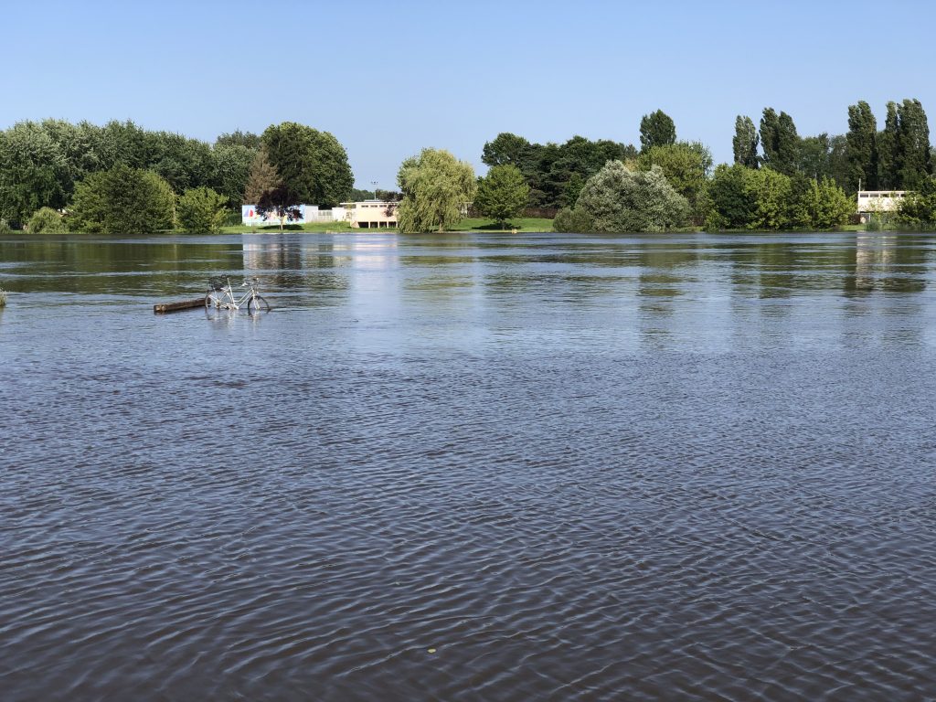
On Monday morning, there was nothing to be seen of the path that joins two pontoons to the mainland. As the photo below shows, both the sign that says ‘Peche Interdit’ and the vegetation along the bank were under water. Only the bicycle shows where dry land usually is.
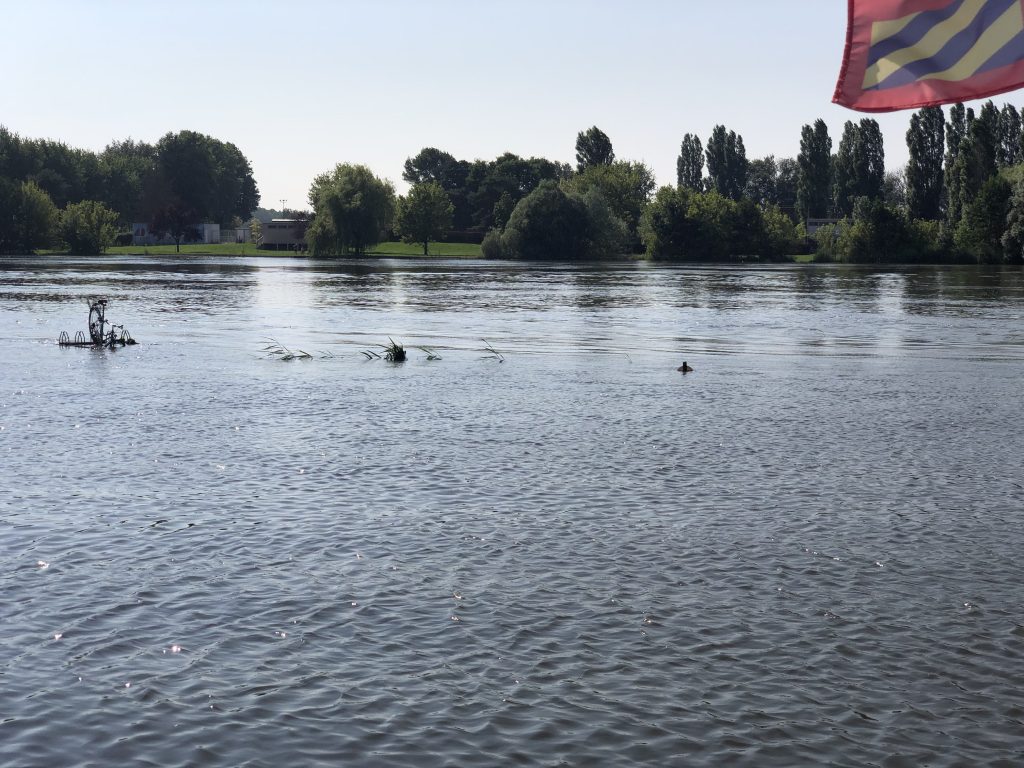
24 hours later, the water level was continuing to rise. And so was our anxiety level. I didn’t take a photo but the water was now above the front axle of that white bicycle. Would it ever stop rising?
Yes, it would. By mid-day, things began to look better. Vegetation was beginning to show – as was a tiny portion of the No Fishing sign. That white bicycle, however, was looking a bit worse for wear. My guess is a piece of floating debris hit it.
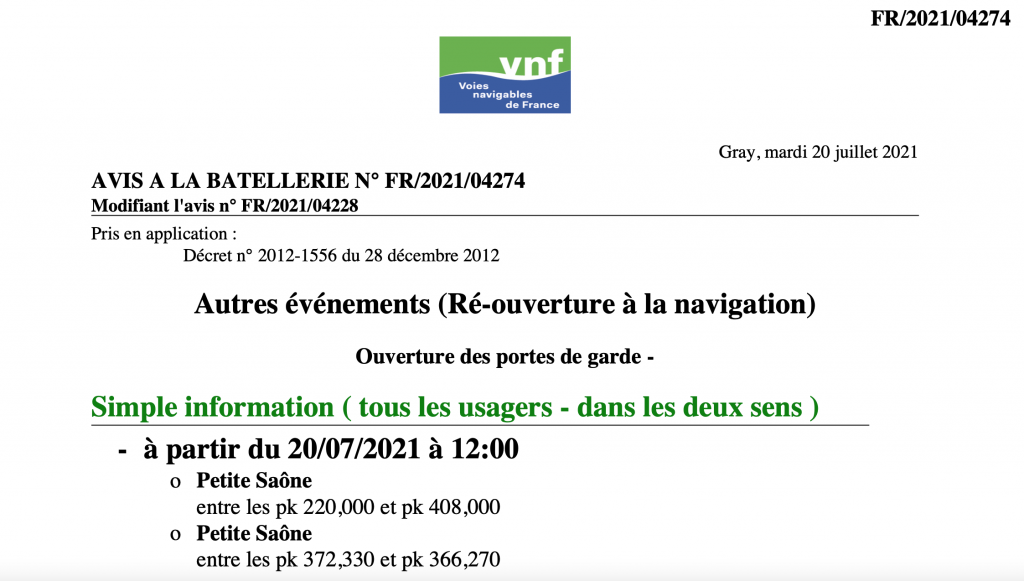
I was pleased to see the water dropping – and to see the VNF were now allowing us to go out onto the Saône.
The river may be safe – but I’m not sure the route out of our marina onto the Saône is.
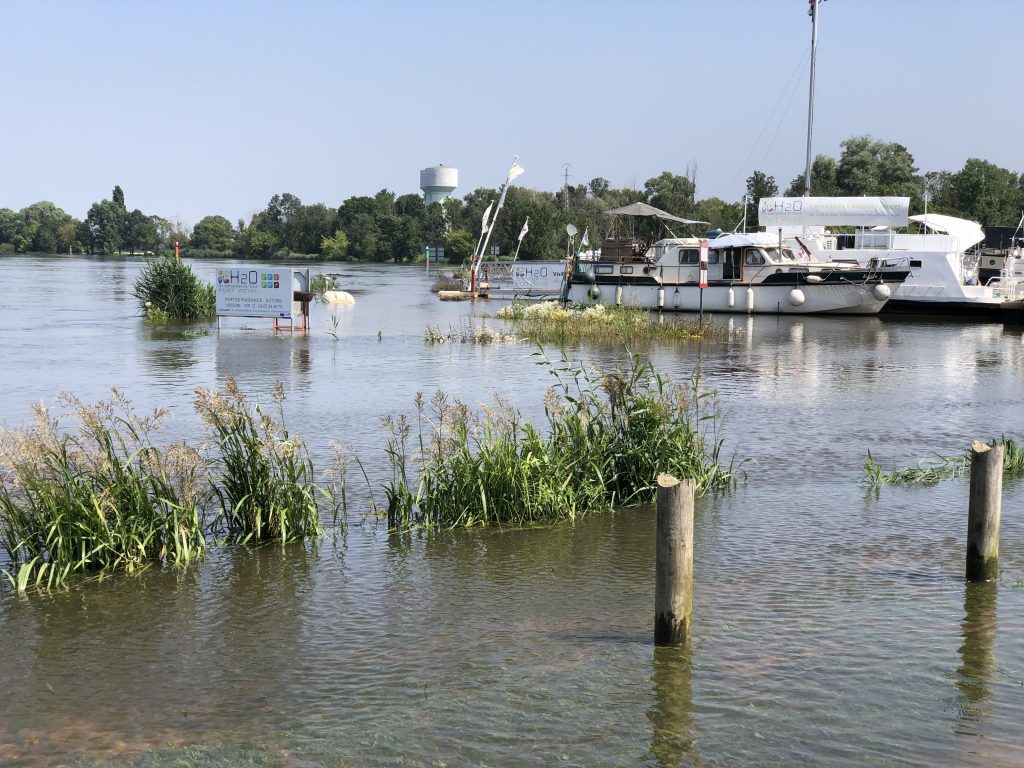
Normally, there is much land between the H2O sign at the left in the photo above and the vegetation at the bottom of the photo. Clearly visible land. The channel out of the marina is narrow. With the water as high as it is, I won’t be able to see the land hidden beneath the surface. But we need to leave. We have an appointment to get our Bimini looked at in St. Jean-de-Losne. Tomorrow! Here’s hoping the water continues to drop overnight.
