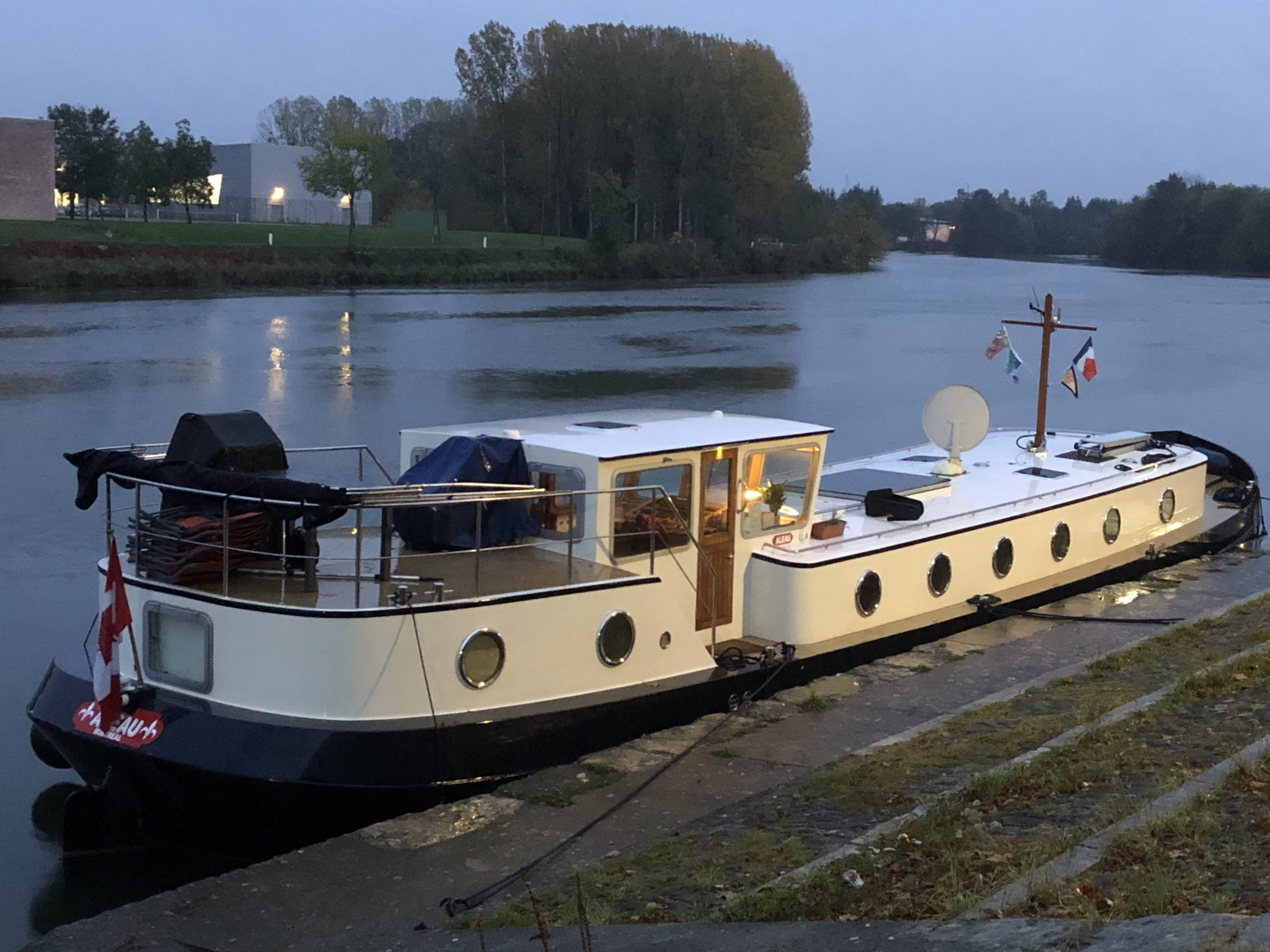
CEVNI rules state that any vessel 20-metres or longer must be equipped with AIS (Automatic Identification System). Being just eight-inches short of being legally required to have AIS, I decided that courtesy and safety meant we should have one installed.
AIS is a bit like radar. Except it uses satellites and GPS to “see” other vessels. It is invaluable in allowing the helm to see around a blind bend and know if there is an oncoming vessel. The drawback is that it only “sees” vessels equipped with AIS. Most vessels as large as Aleau but still less than 20-metres are not equipped with AIS and remain invisible. We wouldn’t know they’re there. But we should be able to see an oncoming commercial – even if hidden behind a bend – and it should be able to see us.
As you can see in the image below, AIS supplies an amazing amount of data.
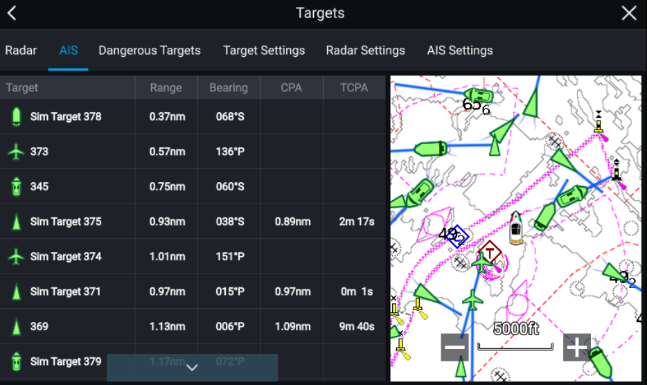
Above is what the screen in the wheelhouse would look like. (While we have purchased our AIS unit, we won’t be able to get it installed until the end of the summer.) Along the right side of the screen are icons for nearby vessels. On the left, in the order of closeness to us, are the names of the other vessels, their distance from us, and their headings. There is also an alarm that sounds if there is a risk of collision. Pushing buttons on the AIS unit can bring up a lot more information on the other vessels – everything from their speed, their cargo (Is it dangerous?), the number of people on board, their radio call-sign, even the port they left and their final destination.
AIS can be expanded to show the upcoming bend in great detail – or unlike radar, shrunk to show marine traffic, in the general area, or worldwide.
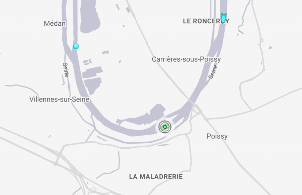
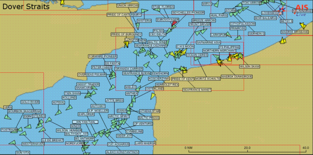
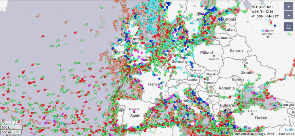
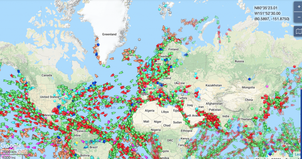
A great thing about AIS (unless one is paranoid about privacy) is anyone can see the location of any AIS-equipped vessel anywhere in the world. A free website (but payment is now required for optional services) is available to anyone. http://marinetraffic.com allows users to enter a vessel’s name and find out where it is – even see a photo of it. There is one caveat. Sometimes there are many vessels with the same name. It’s up to you to make sure you have the right one. As our AIS is not yet installed, you won’t be able to find Aleau – not just yet. (I just checked. There is no other boat name Aleau. There is a U.S. fishing vessel named Aleautian Express that will come up when you type Aleau in the Search box. I don’t think that will lead to any confusion.) To show you how it works, I typed Lescapade (for the barge L’Escapade) belonging to a good friend. You may remember the shot of L’Escapade in Chap. 50 – when David joined us for lunch at Auberge de la Croisade on the Canal du Midi. Here’s what comes up when I type his barge into the Marine Traffic site.
There are four photos of L’Escapade along with a map that can be expanded to pinpoint its current location. Keep zooming in. Unfortunately, much of the material that used to be free is now padlocked – requiring a subscription. But you’ll still be able to track where we are – once we have our AIS installed. You don’t even need to go online. There’s a free app you can download and put on your phone – MarineTraffic – Ship Tracking. (I just went to the App Store and noticed there are a variety of ship-tracking apps. I have no idea if one is better than the other. Up to you to discover.)
For now, you could always type in Ever Given.
